 |
||
|
||
| The Days Track | ||
|
|
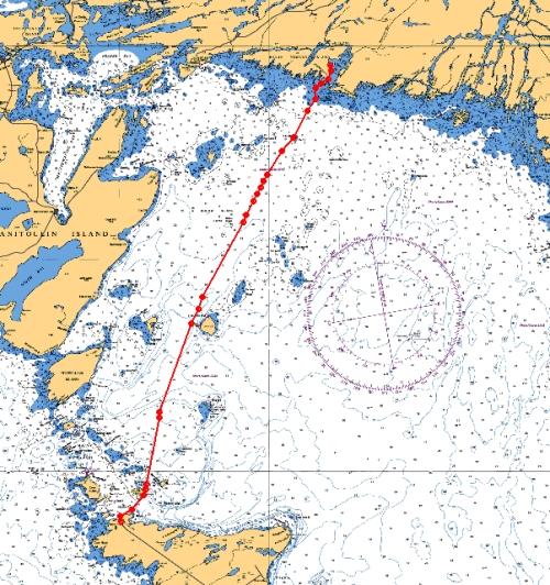
We covered 56 miles on Day 3. This was one of the widest expanses of open water we would trek so far off shore. a Left Tobermory at 10:25a.m. b Stopped by Flowerpot Island c Went between Club Island and Lonely Island around 11:30 d Passed by Gull Island Light e Entered Beaverstone Bay around 12:30 |
|
| Leaving Tobermory | ||
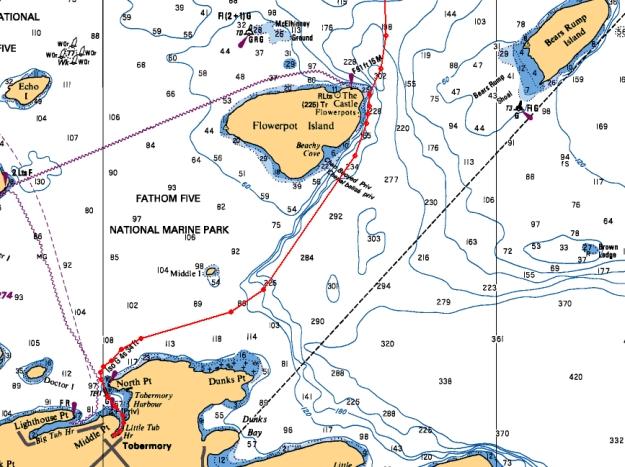 |
We left from our overnight anchorage at the docks in Little Tub, and motored out Tobermory Harbor. As long as our planned route took us so close to Flowerpot Island, we idled just off shore. The water is over 250 ft. deep right up near shore, so you can get really close. This area is all part of the Fathom Five National Marine Park. There are many dive charters and glass bottom boats that traverse these waters.
|
|
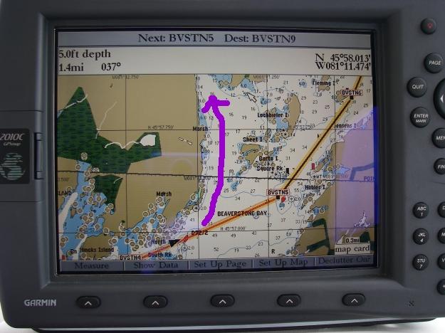
| Beaverstone Bay Anchorage | ||
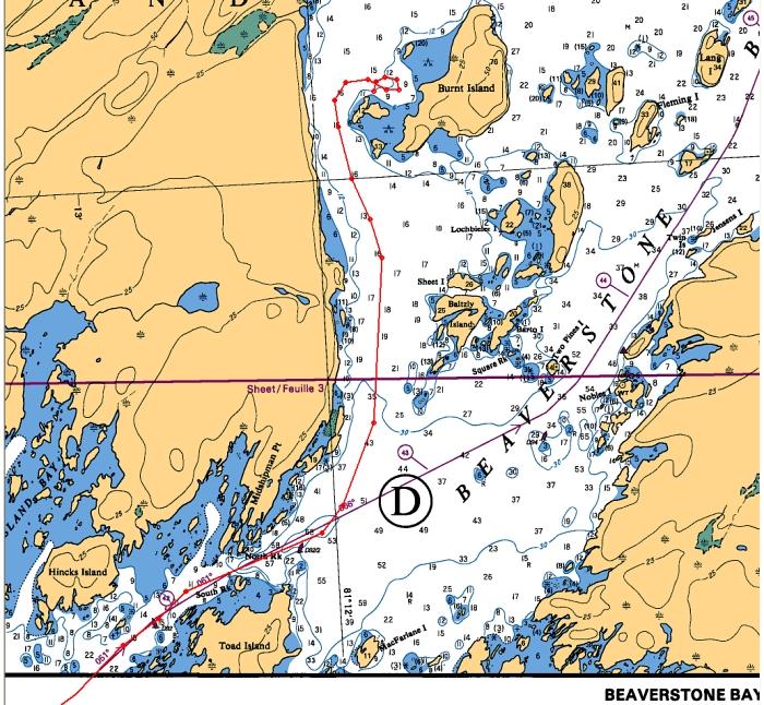 [Red is our track] |
After entering Beaverstone Bay, and going between Hincks and Toad Island, we veer "off route" just after the D92/2 buoy, and before mile marker 43. About a mile and a half north we turn into a nice protected anchorage behind Burnt Island. With a stiff SW wind blowing in the evening, we were still very comfortable.
|
|
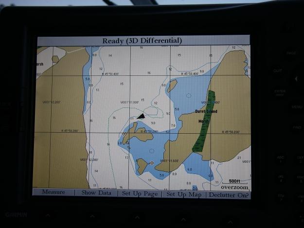
| Dinghy Tour @ Burnt Island Islet | ||
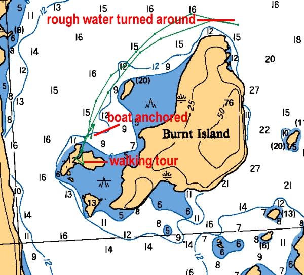 [Green marks our track] |
Took the dinghy to the small islet and walked around for a while. We then motored out north east to the tip of Burnt Island. The waves and wind were just enough to splash us as we got out from the lee of the island, so we turned around and headed back to the boat.
|
|
| Day 3 July 1st | On to Day 4 | ||
| More Images | Video | Log | |