| We
neared Boat Rock waypoint (buoy E26), where the ‘true’ North Channel
begins, and headed west, passing Heywood Island a mile to our south.
From there we turned northwest, heading five miles to the lighthouse at
the tip of Strawberry Island.
I decided to take the ‘shortcut’
once we got around Strawberry, heading just a little northwest to go the
2 ½ miles to Little Current channel entrance at buoy J32. Back in 2004
we elected to take the marked route that sent you more westerly to pick
up the buoys starting at E24. We arrived at the Little Current
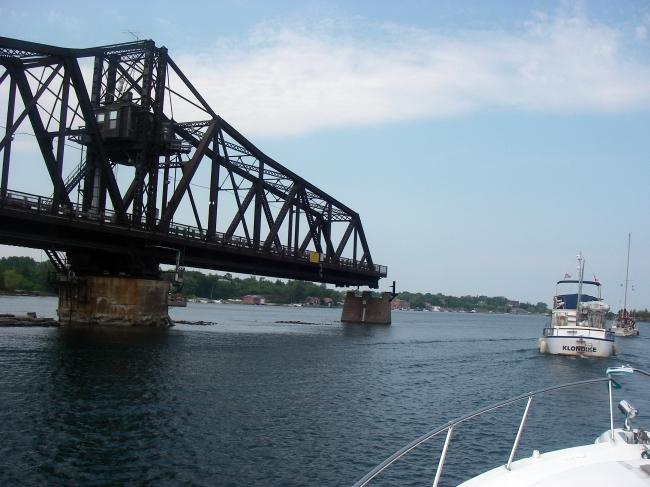
Swing Bridge just as it was opening at 12:00 noon. |
| A half
mile later we pulled up to the dock at Wally’s Fuel Service,
which is on the east side of town. While the dockhands gassed up
the boat we took a look around Wally’s. The small building (a
large ‘shack’) is filled with boating supplies, charts, and
mostly fishing gear. We took on 116 gallons total, at $1.19 per
liter. I also put 3 liters in the dinghy gas can as well.
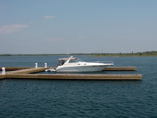
We shoved off and made our way
west down the channel to the town docks. Wow, have these changed.
Instead of a long wall offering the only docking, they now have
installed brand new finger docks, and lot of them. There were
hardly any boats here, so we picked a dock to tie up to, and
several dock boys came running out to give us a hand. They were
going to add hydro (electric) to the docks next week they said.
There was no charge for just tying up in order to head into town
for a while. They were sure friendly. |
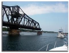
We Made the Noon
Opening
of the Little Current Swing Bridge
|
|
|
| We
walked into town, just a block off the docks. Gina wanted to get
some groceries, and I headed to the hardware store to get some
replacement bulbs for our dinghy lights and flashlights. After
getting up the hill several blocks away, only finding that the
store was closed on this Sunday, I proceeded to go back downtown
to try to find Gina.
After checking several stores on
Main Street, I asked where the grocery stores were, and then
headed back up hill on the outskirts of town. I went into one and
didn’t see her, and decided to head back through downtown and to
the docks. She wasn’t back yet, so I headed into town once again,
finally finding her walking main street, loaded down with a bunch of
bags full of groceries. We dropped them off at the boat, and then
went up to get some ice cream cones a little ways down the docks.
|
|
|
|
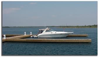
At the NEW
Little Current Town Docks
Weather
Looking a Little Ominous
|
At
2:30 we left the docks to head west to the Benjamin’s. We
cruised by Spider Island, where we picked up the buoyed
channel leading past Picnic Island, and into more open
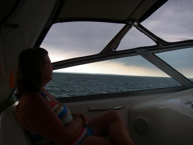
waters. The wind was kicking up now, and the skies were dark
in spots. It was looking a little ominous, and the VHF
announced a thunderstorm watch. As the waves built a little,
I asked Gina if she thought we might want to retreat, but we
decided to press on.
Once
we passed Narrow Island and buoy J63 we veered slightly
southwest to round the James Foote Patch lighted buoy, about
five miles away. Then we turned northwest for the run into
the Benjamin’s. It was nine miles to go, and as we went
between Clapperton and Amendroz Islands, it seemed that we
went right between two dark clouded thunderstorms.
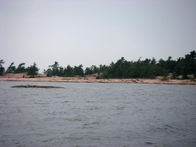
We
decided to anchor at Croker Island, which is just a mile and
a half east of South Benjamin Island. With the weather still
questionable, Croker offers a nice protected spot to be in.
I punched in the route I had programmed in to the chart
plotter earlier. It took us close to Secretary Island, away
from the rocks that make up the outcropping of the Sow and
Pigs to the west. Just north of Secretary we took a hard
right turn, keeping away from the shoals off of Porcupine
Island just to the north. We went east into the horseshoe
shaped bay of Croker. |
|
|
|
My
preferred anchor spot was the furthest southwest corner
between the main island and a large islet, but there were
several boats already in there, so we kept going around the
islet, and headed south towards shore. Gina kept a bow watch
as we hooked back in behind the islet. The water was very
clear and mostly a nice sandy bottom, with no weeds. It was
a little narrow passage and there was a boat tied up to the
islet, but we found a nice spot nearby. We are way in the
backside, and it is too shallow to make a complete loop
around this small island in the harbor of the island.
|
|
|
|
Gina
set the bow anchor at 3:40, and I sterned in towards shore
to set it, ending up about 40 feet from shore in about five
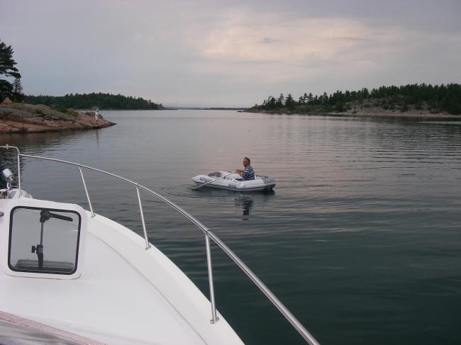
feet of water. I then rowed the dinghy to shore and wrapped
a stern line around some rocks. We were now secure for the
night. , For a change, anchoring was easy, and it was fast.
The tripometer read 433 miles on our trip so far.
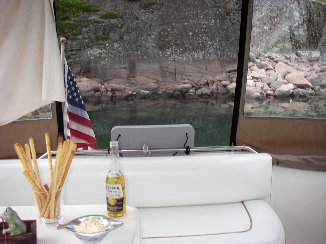
Shortly,
we could see another front about to move through. It started
raining lightly, as we relaxed for a drink along with some
pretzel sticks and cheese. We could hear thunder in the
distance. We were both a little tired after all the walking
in Little Current, and we fell asleep about 6:00 or so.
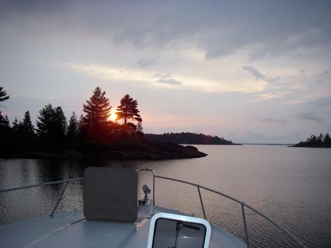
Waking
up from our nap at 8:30, and we were treated to a nice
sunset a little later. Gina made salads for a late dinner,
and I had a piece of fresh bread she had bought at the
grocery store this afternoon.
About
100 yards off our port bow, there is a 33ft. Doral anchored
up against a rock on the opposite shore as us. Four guys are
sitting outside with a nice fire going on the rocks. Around
10:00 the rain returned, with lightning in the distance,
finally chasing these guys into their boat. |
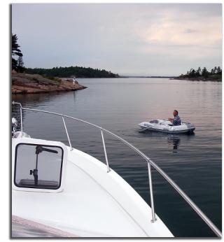
Looking West
Towards Benjamin's
After Securing the Stern Line
|
|
|
|
|