 |
||
|
||
|
Overview of Afternoon Dinghy
Tour A wide area look of the day's ride. |
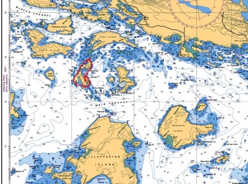
Here you see a far away view of the route we took around both South Benjamin and North Benjamin Islands.
To the north is Fox Island; to the east is Croker Island (day 11); to the South is Clapperton Island; and to the west is Eagle Island and the rest of the North Channel. |
|
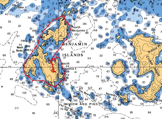
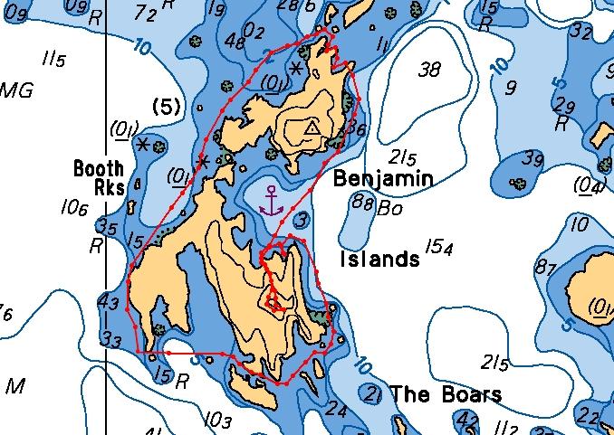
The Route Starting from our anchorage in the cove on South Benjamin we headed south along the shore, the headed west past some narrow passages where there were a few boats at anchor. From there, we headed north all the way around North Benjamin. We stopped at the large flat-rock beach just east of our anchorage, where you can see our walking route to the top of the hill on South Benjamin. |
|
|
A Closer Look Our afternoon Dinghy Tour took on Day 13 was made better by ideal water conditions. It was clear and calm, allowing us to pick our way along the rocks and view the most awesome scenery. We did make the ride without use of charts, and felt very comfortable and safe. |
|
| Day 13 July 11th 2006 | On to Day 14 | ||