|
|
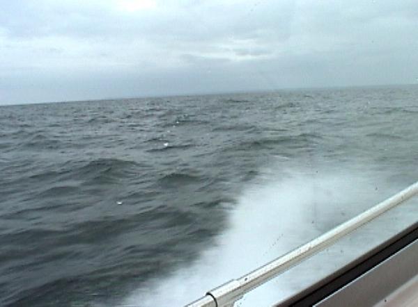
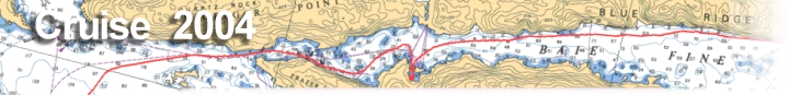
| Day Seven we start heading back west. The 59 mile journey for the day finds some rough waters as our cruise takes us between Heywood and Manitoulin Islands, and then turning south for the long haul into Tobermory. |
|
|||
|
|
|
||
|
Destination: Via: |
|
We had hoped to
get an early start out of Little Current today, but the weather is less
than desirable this morning, mainly rain and wind. Stepping outside to
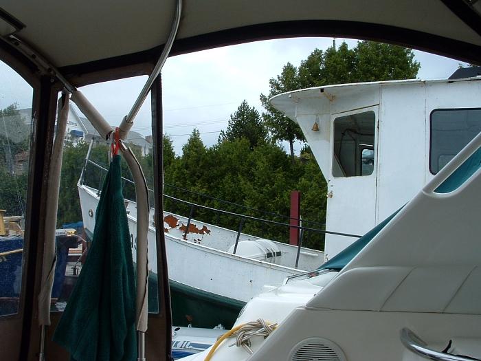
check out the activity, I notice there are still boats lining the town
docks, and no one seems to be leaving. I walked the short distance into town, and stopped at the Anchor Grill for a cup of coffee to go. I then walked back across the main street to seek shelter in the stone gazebo, and enjoy a rare morning cigar. |
||
| I
told Hank to stop back here on his way back from the showers, and I'd by
him a cup of coffee. The rain was letting up now, but it was still a
little windy and cloudy. Back from the showers, Hank and I grabbed another
cup of coffee then started walking back. Finally,
a lone boat was pulling out. The captain asked me to hold his spring line
as he was going to do one of those fancy moves to extricate himself from
between two boats. A dock boy and myself just ended up giving him a shove
and away he went without problem. A quick meeting with Bill and Mary, and
a check on
the weather, it was decided to wait a couple of hours and then try to leave at
noon. We deflated and rolled up the dinghy and secured it on the swim
platform. I had not previously plotted a route for the run from Little Current to Tobermory, because at the time I wasn't sure which way we'd be headed back from. We could follow our track back west to the J17 buoy, so I just had to plot a few waypoints to head south between Strawberry and Heywood Islands. Our route would then need to be just about straight west to the end of Manitoulin Island before heading south in Lake Huron at the J13 buoy. From there we would run to the J12 buoy just off Campbell Rock, and then due south to Club Island where we would pick up the same track that we used to head north to Beaverstone Bay back on day two. So I plugged in a couple of the waypoints in the GPS and and scribbled some notes on my route page indicating my plan. |
||||
|
||||
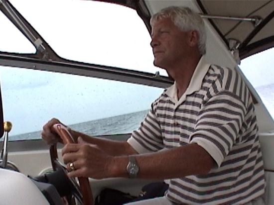
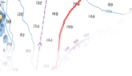
| I was watching both the radar screen and the GPS, and trying to decipher my route notes. The radar was new to us this year and I hadn't really learned all the features yet. I would never leave in the fog and depend upon it for navigation, but I did like the fact that it outlined the shorelines. And with the ability to set the range lines, I was able to tell how far behind Bill was at all times. | ||||
|
|
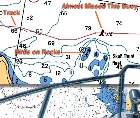
About five miles of running east Hank and I both noticed at the same time what appeared to be birds sitting on some debris in the water about 300 years off our front starboard quarter. I steered to port, then took a look at the chart and realized it must be the rocks and shoals marked as Skull Point Reef. We were south of the J16 buoy marking this hazard and heading right towards it. We picked up the J16 buoy and continued eastward. I double checked my notes and saw that I had the J13 waypoint logged as next, and should of just used the GPS to keep us on a line of 55' until past the island before heading to the J13 waypoint. It all sounded so simple when I had first planned the route, but I think I relied to heavily on a combination of waypoints and cryptic notes, instead of plugging in the entire route into the GPS. |