|
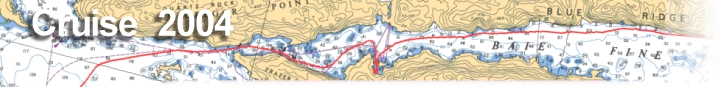
charts from Day 3 July 11 Mill Lake to Covered Portage Cove |
click on images to enlarge
|
|||
|
|
||
|
click on images to enlarge |
|||
| Overview | |
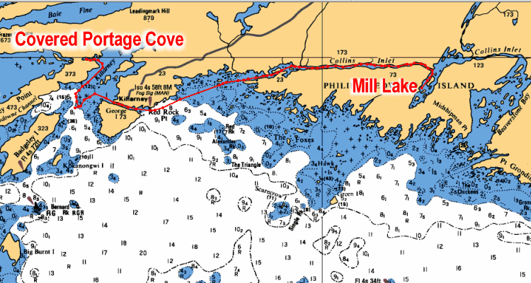 |
Day 3 Track Shows our route for Day 3 of approximately 19 miles. From Mill Lake back into Collins Inlet and west to Killarney for lunch. Then we head a short distance through Killarney Bay to Covered Portage Cove, one of the best anchorages in the area. |
| Collins Inlet | |
|
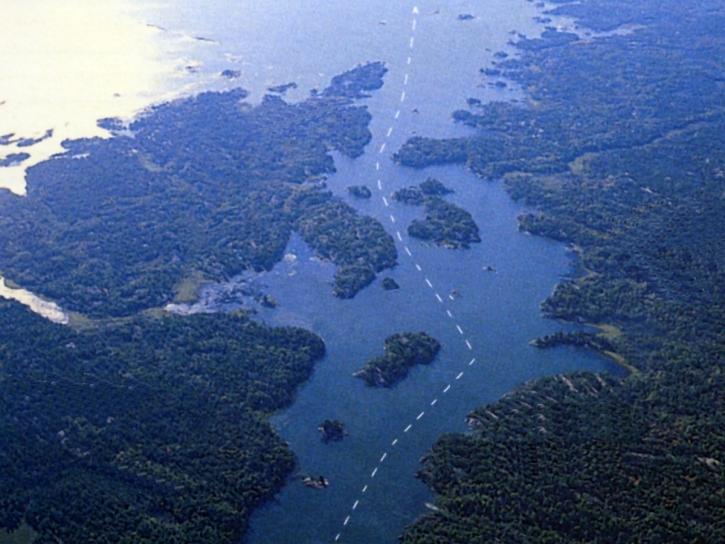
West End of Collins Inlet Aerial View of Track near Keyhole Island where the west end of Collins Inlet narrows before heading out into open water of Lake Huron. |
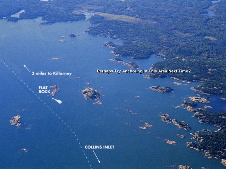
| Flat Rock Light | |
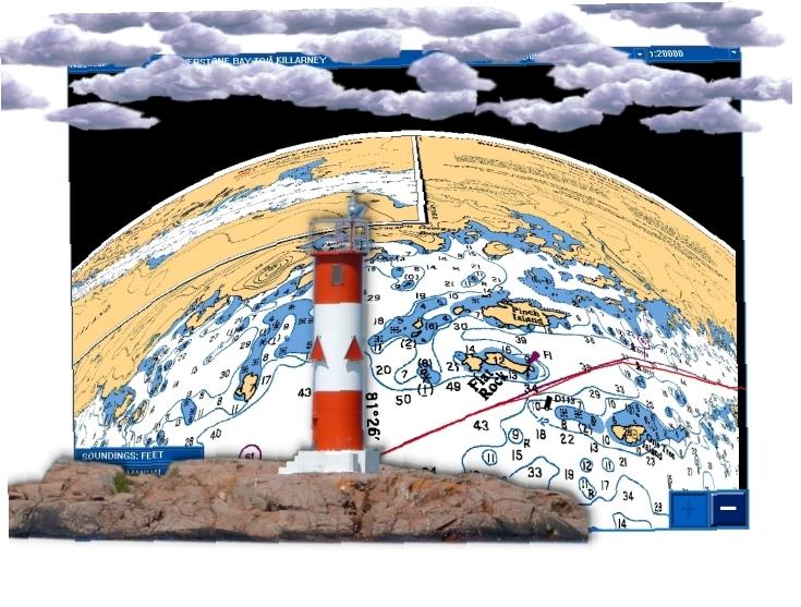
|
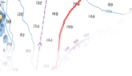
Near the Flat Rock Light Chart and Aerial views of our track exiting Collins Inlet and into Lake Huron. Killarney is just three miles more to the west. |
|
|
| Killarney | |
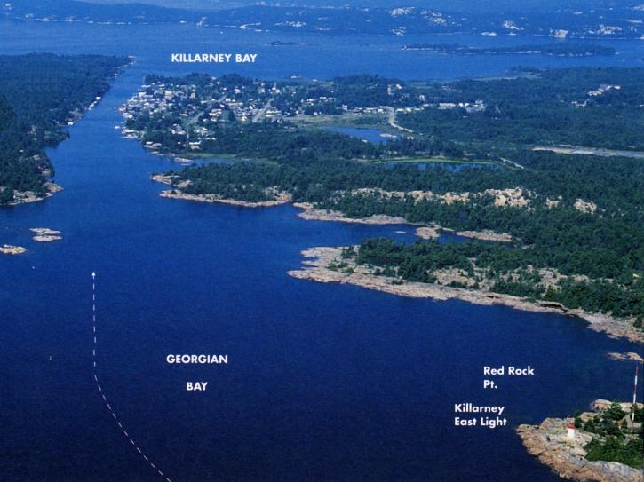
|
Killarney East Entrance Aerial view of our track entering Killarney Channel from Red Rock Point. |
| Covered Portage Cove | |
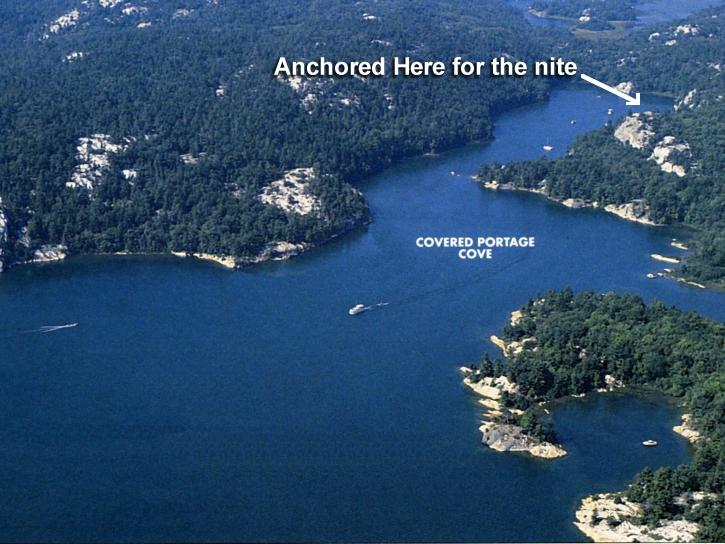
|
Covered Portage Cove Aerial View Showing entrance and spot where we anchored for the night. |
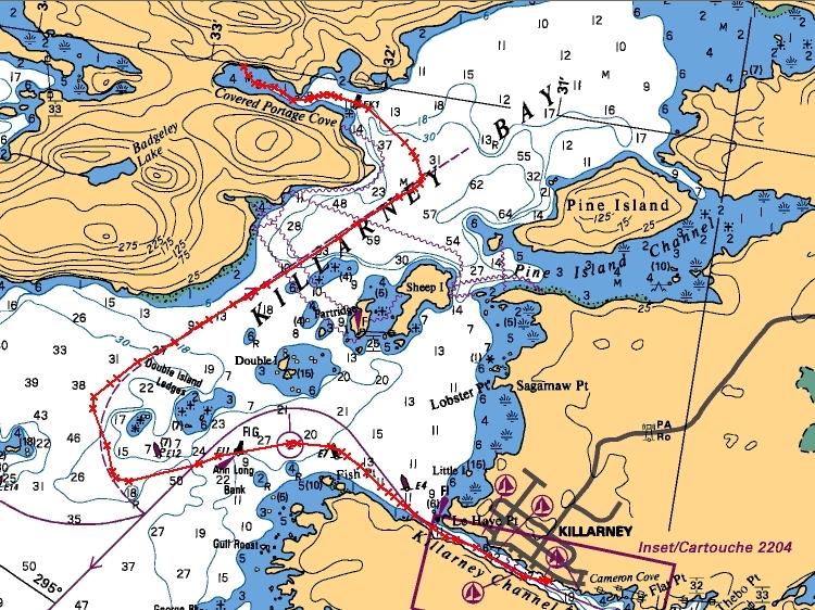
|
Chart Track Showing our route from Killarney through Killarney Bay and into Covered Portage Cove. Just a four mile jaunt. |